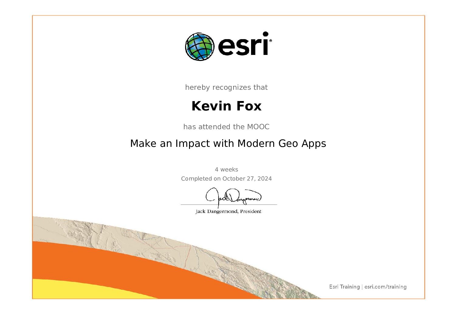
NOTE: This is the first in a series of reviews of courses that we at GIEI think serve well to prepare the geo-storyteller.
ESRI’s ArcGIS Web App MOOC “Make an Impact with Modern Geo Apps” provides an inspiring introduction to GIS, blending technical skills with tools that enable powerful geographic storytelling. By exploring Instant Apps, StoryMaps, Dashboards, and Experience Builder, participants gain a foundational understanding of how to create engaging, data-driven narratives that foster a deeper connection to place.
In line with GIEI’s mission, this course emphasizes the power of interactive mapping to broaden our geographic awareness and shift how we might perceive the world at all scales. Through these web apps, users can explore, understand, and share complex geographical insights, reinforcing the idea that geography is a shared, ever-evolving conversation.
Course Highlights
- Engaging, Scenario-Based Learning: Each lesson situates GIS skills within real-world contexts, encouraging learners to view data as stories waiting to be told. This aligns with the GIEI’s goal of making geography relevant and relatable, transforming abstract data into insights that connect people with the spaces around them.
- A Comprehensive Toolkit for Geographic Storytelling: With ArcGIS’s range of apps, learners can create immersive narratives on diverse topics, from visualizing migration patterns to exploring historical change. Each tool—StoryMaps, Dashboards, Experience Builder—offers a unique way to bring data to life, showing that geography isn’t just about maps, but about sharing experiences that expand our sense of place.
- Accessible, Creative Instruction: The course’s step-by-step guidance makes GIS approachable, even for newcomers, while allowing room for creativity. By focusing on the “how” and “why” of each tool, learners gain skills to produce meaningful maps that inspire curiosity and awareness, which are central to the GIEI vision of shared geographic understanding.
Suggestions for Further Enrichment
- Advanced Customization: Briefly introducing custom widgets or expressions inspires users to further personalize their apps, offering a glimpse into GIS’s more advanced storytelling capabilities.
- Incorporating Real-Time Data: Using real-time data would allow learners to see geography as an active, unfolding story. Adding exercises with live data streams could help illustrate the dynamism of geographic processes, fostering a stronger connection between users and the environments they map.
- Supporting Personal Projects: Providing guidance for those wishing to apply GIS skills to unique projects could empower learners to explore topics relevant to their own lives, communities, or interests—essential for nurturing the curiosity that GIEI promotes.
ArcGIS Apps as Catalysts for Expanding Geographical Imagination
ArcGIS apps do more than teach GIS; they offer platforms for discovery, empathy, and reimagination. By enabling interactive, layered storytelling, these tools allow us to transform geographic data into narratives that help others see the world through new perspectives.
- StoryMaps for Layered Narratives: StoryMaps blend maps, multimedia, and narrative to build rich, multi-dimensional stories. For example, a StoryMap could illustrate how a community has evolved over time, connecting viewers with local histories, cultural landscapes, and shifting environments—fostering a renewed awareness of place.
- Dashboards for Real-Time Exploration: Dashboards allow us to engage with real-time data, making complex information accessible at a glance. Imagine a dashboard tracking changes in urban green space or air quality, inviting viewers to see the cumulative effects of human activity on landscapes. Such insights encourage deeper reflection on human-environment interactions.
- Experience Builder for Interactive Exploration:Experience Builder’s customizable, multi-page layouts are perfect for projects that involve detailed exploration. Whether mapping neighborhood art or tracking local species diversity, Experience Builder allows users to create apps that spark curiosity, inviting audiences to participate in geography as a shared inquiry.
Conclusion
The ArcGIS Web App MOOC is more than a technical course; it’s an invitation to reimagine how we interact with geography. Through intuitive exercises and tools that transform data into narrative experiences, this course equips learners to explore, document, and share the world in ways that inspire and connect. The skills developed here foster curiosity, empathy, and a collaborative approach to understanding place.
In learning to use StoryMaps, Dashboards, and Experience Builder, participants gain skills to engage with geography as a living field, where maps are no longer just visuals but powerful storytelling platforms. This course helps us to broaden our geographical imagination, inviting others into conversations that reframe our understanding of landscapes, cultures, and environments as interconnected narratives. In doing so, ArcGIS web apps become not just tools but catalysts for curiosity and connection, inspiring us to see the world through layers of shared meaning and discovery.

